Weather Forecast for this Section (Next 7 Days)
Section Overview
This section delivers a classic mix of open hilltop walking, woodland paths and gentle farmland as the Cotswold Way continues south. After climbing out of Dursley onto Stinchcombe Hill, the route follows the escarpment edge before gradually descending towards Wotton-under-Edge.
The gradients are steady rather than severe, making this a manageable but satisfying day’s walk with excellent views and a strong sense of progression along the ridge.
Climbing Stinchcombe Hill
Leaving Dursley, the trail makes a steady ascent onto Stinchcombe Hill. The climb is sustained but not overly steep, and once on the ridge, the walking becomes more open.
Stinchcombe Hill is common land, often grazed by cattle and sheep. The wide grassy paths provide expansive views west across the Severn Vale and east into rolling Cotswold countryside.
Ridge and Woodland Walking
After the open hilltop, the route dips into woodland and quiet farmland. This stretch feels more secluded, with shaded tracks and occasional clearings offering glimpses back towards Cam Peak and the surrounding hills.
Underfoot conditions are generally good, though woodland sections can become muddy after prolonged rain.
Approaching Wotton-under-Edge
As you near Wotton-under-Edge, the trail begins a gradual descent from higher ground. The landscape transitions from exposed escarpment to gentler countryside with hedgerows, fields and dry stone walls.
The approach into town is steady and clearly waymarked.
Wotton-under-Edge
Wotton-under-Edge is an attractive market town with a long history and a good range of facilities for walkers, including shops, cafés, pubs and accommodation.
It makes an excellent overnight stop before continuing into the quieter southern stretches of the Cotswold Way.
Next Section
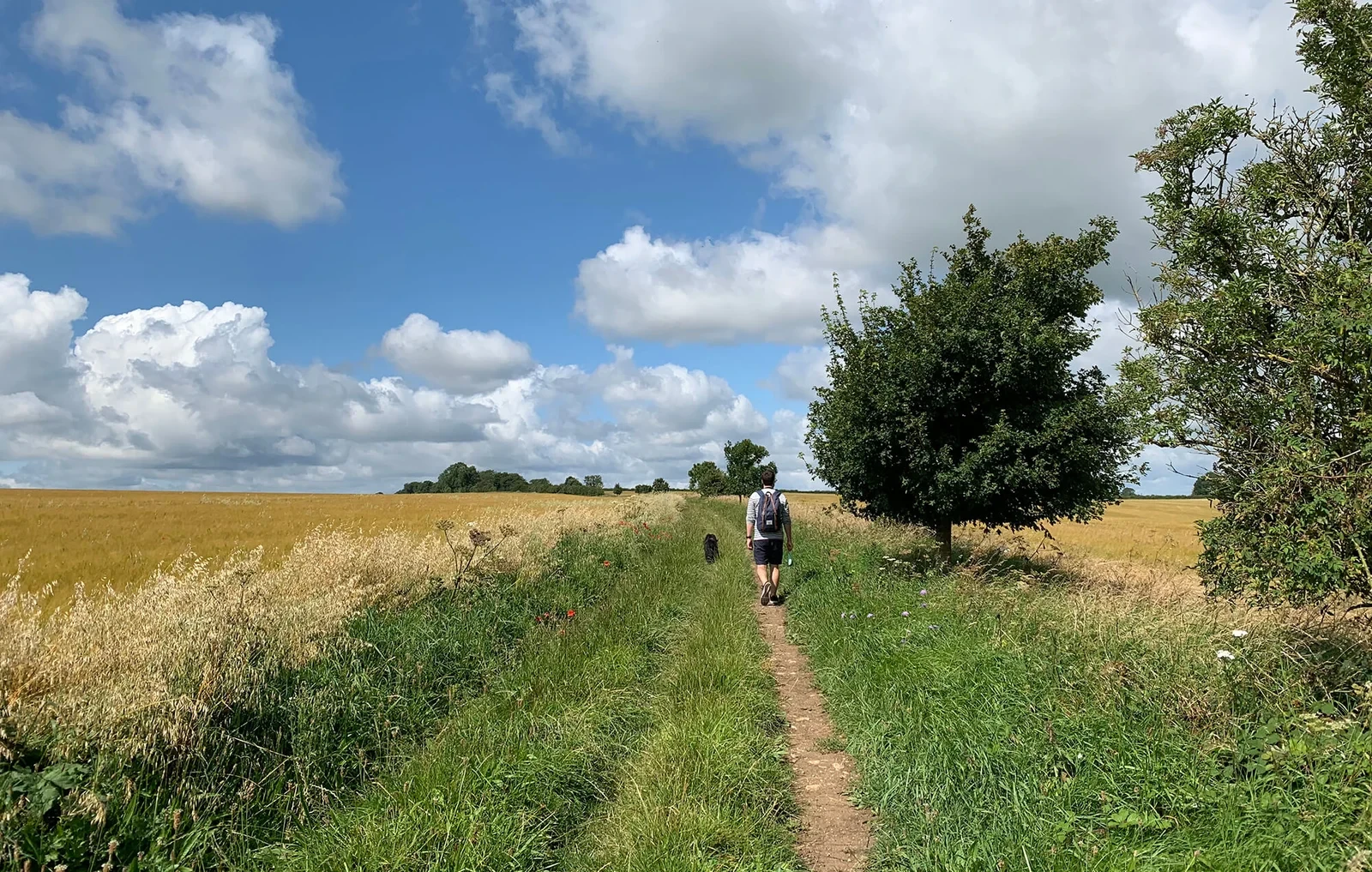
Wotton-Under-Edge to Hawkesbury Upton (7.4 miles)
This is a quieter and more rural stretch of the Cotswold Way, moving away from the larger towns and into rolling farmland, ancient woodland and peaceful countryside. The terrain remains gently undulating, with several steady climbs and descents that give the day a satisfying rhythm. While there are fewer dramatic escarpment viewpoints than earlier sections, the walking feels remote and characterful, offering a strong sense of the Cotswolds’ agricultural landscape.
Previous Section
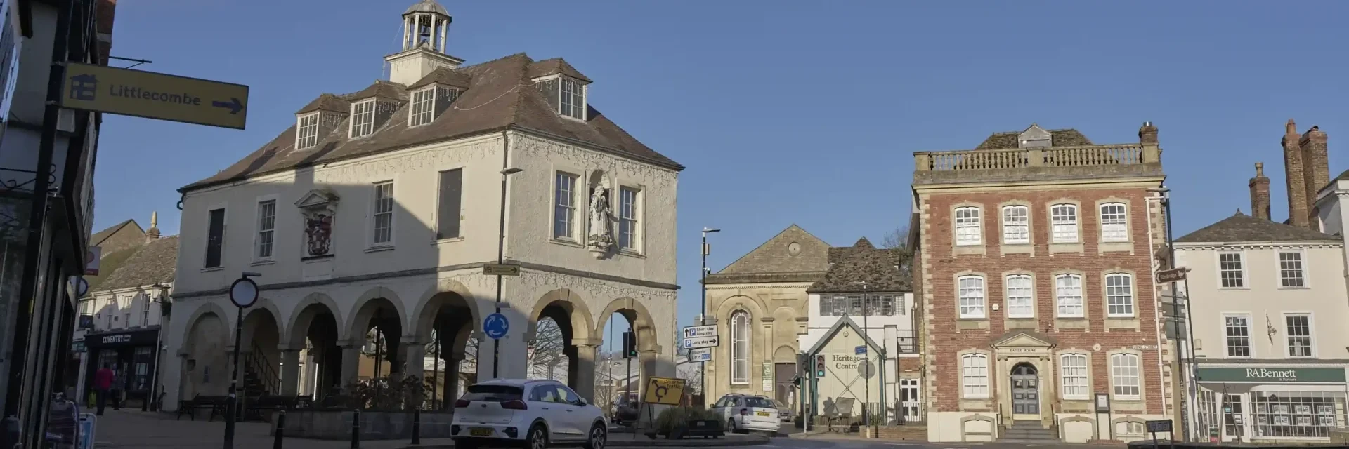
King’s Stanley to Dursley (7.2 miles)
This is a rewarding escarpment section with one of the finest viewpoints on the central Cotswold Way. The route climbs steadily from King’s Stanley onto high ground before passing the popular viewpoint at Coaley Peak and continuing through woodland and open hillside towards Dursley. Expect steady ascents, exposed stretches and sweeping views west across the Severn Vale. Though not the longest section, the climbing gives it a moderately challenging feel.