Step out onto The Cotswold Way National Trail, one of England’s most celebrated long-distance routes for walkers, cyclists, and outdoor explorers. Winding along the western edge of the Cotswolds Area of Outstanding Natural Beauty, the trail serves up sweeping escarpment views, honey-stone villages, historic landmarks, and some of the finest countryside in the UK. From traditional pubs to characterful places to stay, we’ll help you plan every stage of your journey – however you choose to take it on.

Key Information
- Distance: 102 Miles (164km)
- Typical Time to Complete: 7 – 10 Days
- Start Point: Chipping Camden
- Finish: Bath
- Elevation: 3000 – 3,200m
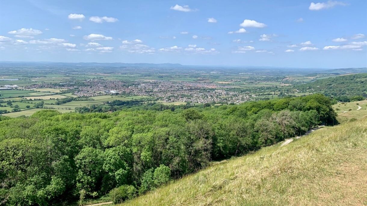
- Highest Point: Cleeve Hill
- Longest Section: Cold Ashton to Bath
- Shortest Section: Dowdeswell to Leckhampton Hill
The Cotswold Way National Trail stretches for approximately 102 miles, running between Chipping Campden in the north and Bath, a UNESCO World Heritage city, in the south. Following the dramatic limestone escarpment of the Cotswolds, the route offers ever-changing views across the Severn Vale, the Malvern Hills, and beyond. The trail is clearly waymarked throughout, making it accessible for both first-time long-distance walkers and seasoned trail veterans.
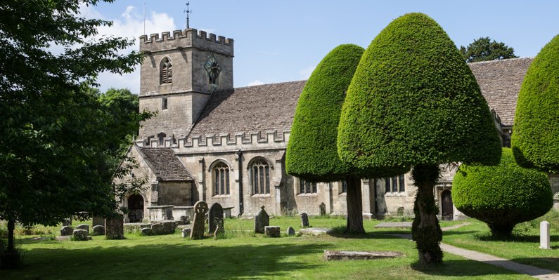
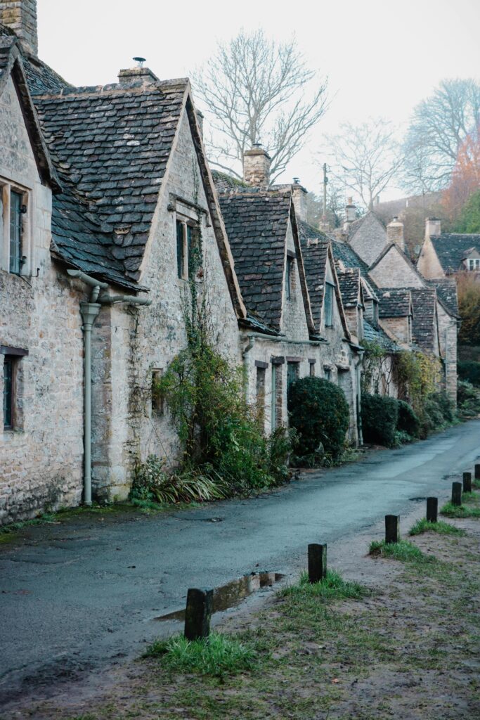
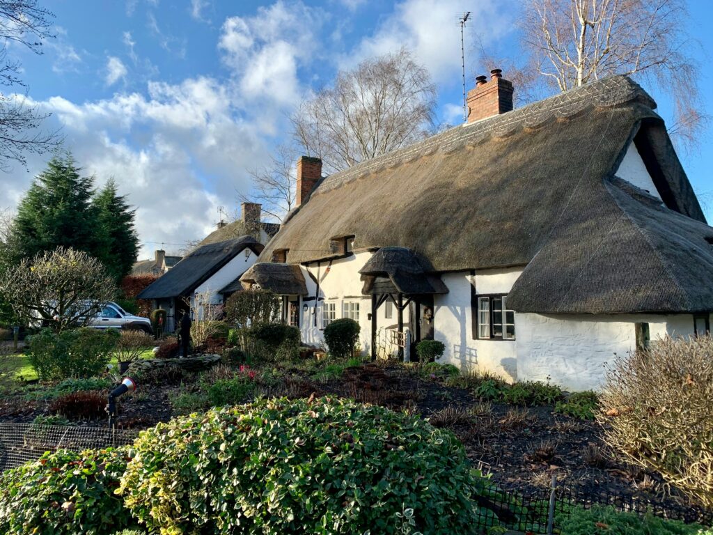
Along the way, you’ll pass through quintessential Cotswold villages, ancient woodlands, and rolling pastureland, with plenty of opportunities to stop for local food, explore historic sites, or simply soak in the scenery. Highlights include Iron Age hill forts, medieval churches, grand country estates, and peaceful stretches of open countryside that feel wonderfully remote. Whether you’re starting in Chipping Campden or finishing in Bath, The Cotswold Way delivers a journey rich in landscape, heritage, and classic English charm.
Frequently Asked Questions
Most walkers complete the 102-mile trail in 7–10 days, although some walk it in shorter sections over multiple weekends.
The trail starts in Chipping Campden in Gloucestershire and finishes in the historic city of Bath.
The trail is generally rated moderate. While the paths are well maintained, there are frequent climbs along the Cotswold escarpment and some long days of walking.
Yes. Many first-time long-distance walkers choose this trail because it is well waymarked and passes through villages with accommodation and transport.
The most popular months are April to October. Spring brings wildflowers and lambs in the fields, while autumn offers quieter paths and colourful foliage.
Yes. The trail is a UK National Trail and is clearly marked with the acorn symbol along most of the route. We’ve also provided detailed section guides to each part of the Cotswold Way to help keep you on track.
Other National Trails to Consider
Cleveland Way – A 109-mile route that combines the sweeping heather moorland of the North York Moors with dramatic coastal walking along the North Sea, featuring rugged cliffs and expansive sea views.
Hadrian’s Wall Path – An 84-mile coast-to-coast walk tracing the line of Hadrian’s Wall across northern England, with Roman forts, windswept crags, and wide open landscapes along the way.
North Downs Way – A 153-mile trail following the chalk ridge of the North Downs from Farnham to the White Cliffs at Dover, with an alternative branch to Canterbury. The route offers woodland trails, open downs, vineyards, and historic pilgrimage paths.
South Downs Way – A 100-mile ridge walk running from Winchester to Eastbourne, known for its rolling chalk hills, wide views, and easy access points for shorter walks.
The Ridgeway – Often described as Britain’s oldest road, this 87-mile route runs from Avebury to Ivinghoe Beacon, passing prehistoric landmarks including hillforts, long barrows, and the famous Uffington White Horse.
Thames Path – A 185-mile riverside trail following the River Thames from its rural source at Thames Head to the Thames Barrier. The route features gentle walking through meadows, historic towns, locks, and bridges as it approaches the capital.