Weather Forecast for this Section (Next 7 Days)
Section Overview
This is a quieter and more expansive-feeling stretch of the Cotswold Way, crossing open farmland, rolling hills and patches of woodland as the trail gradually approaches the southern end of the Cotswolds.
The walking is generally steady rather than steep, with long, gentle undulations replacing the sharper escarpment climbs found further north. With fewer large settlements along the way, this section can feel remote and peaceful.
Leaving Hawkesbury Upton
The trail heads south from Hawkesbury Upton across open fields and farmland. The countryside here feels wide and exposed, particularly in windy weather, with big skies and far-reaching views in multiple directions.
Gradients are steady but rarely severe, making this a consistent and rhythmical stretch of walking.
Rolling Cotswold Countryside
Much of this section follows field paths, farm tracks and quiet lanes. Dry stone walls and hedgerows line the route, and livestock grazing is common.
There are occasional wooded stretches that provide shelter, but much of the walk is across open ground. Underfoot conditions are usually good, though sections can become muddy after prolonged rain.
Approaching Tormarton
As you near Tormarton, the trail gradually descends and the landscape begins to feel slightly less elevated than the high escarpment stages earlier in the route.
Tormarton sits close to the M4 corridor, though the village itself remains small and rural in character.
Tormarton
Tormarton is a small village with limited facilities, so many walkers plan transport or accommodation in advance. It serves as a convenient staging point before the final stretch towards Bath.
The sense of progression is strong here. You are now well into the southern third of the Cotswold Way.
Next Section
Tormarton to Cold Ashton (6.6 miles)
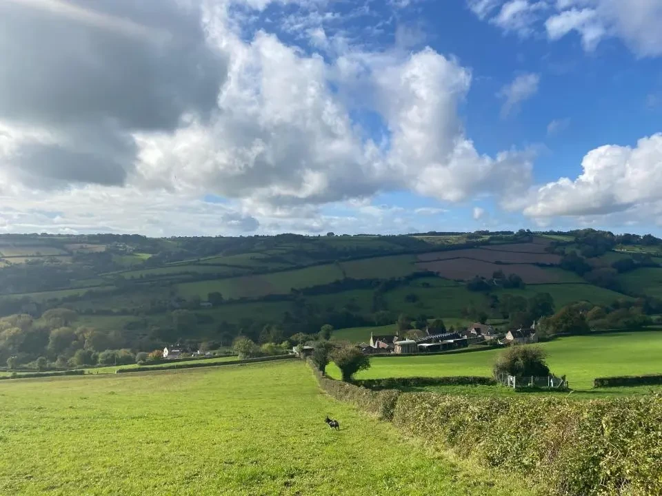
This section marks the beginning of the final approach towards Bath, crossing rolling farmland, wooded valleys and quiet countryside. The dramatic escarpment edges of the northern Cotswolds give way here to softer hills and broader views. Although there are still steady climbs and descents, the gradients are generally gentler than earlier stages. The walking feels rural and unhurried, with long stretches across open fields and peaceful lanes.
Previous Section
Wotton-Under-Edge to Hawkesbury Upton (7.4 miles)
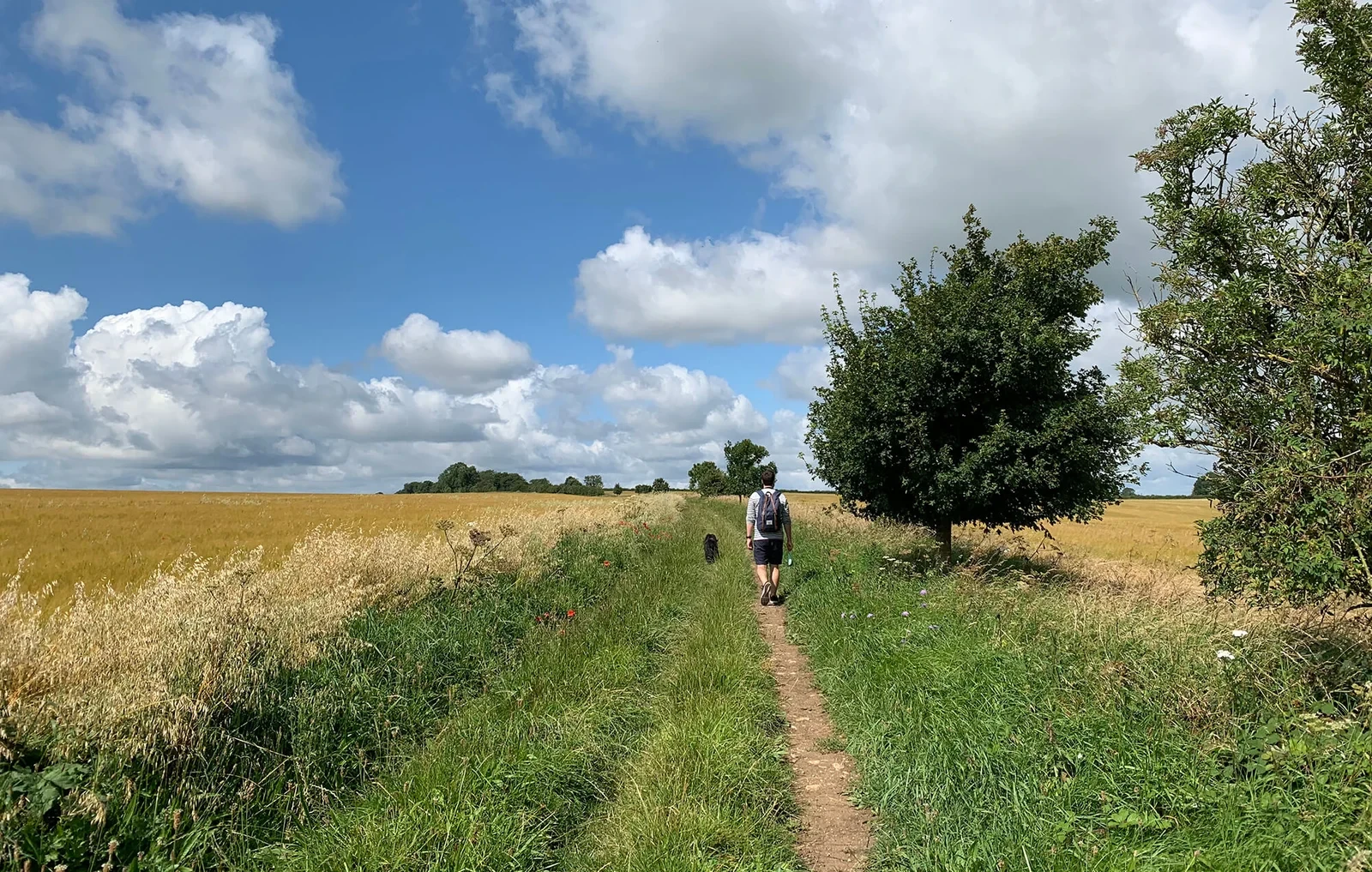
This is a quieter and more rural stretch of the Cotswold Way, moving away from the larger towns and into rolling farmland, ancient woodland and peaceful countryside. The terrain remains gently undulating, with several steady climbs and descents that give the day a satisfying rhythm. While there are fewer dramatic escarpment viewpoints than earlier sections, the walking feels remote and characterful, offering a strong sense of the Cotswolds’ agricultural landscape.