Weather Forecast for this Section (Next 7 Days)
Section Overview
This section marks the beginning of the final approach towards Bath, crossing rolling farmland, wooded valleys and quiet countryside. The dramatic escarpment edges of the northern Cotswolds give way here to softer hills and broader views.
Although there are still steady climbs and descents, the gradients are generally gentler than earlier stages. The walking feels rural and unhurried, with long stretches across open fields and peaceful lanes.
Leaving Tormarton
Departing Tormarton, the trail heads south across farmland and along well-defined field paths. The landscape feels expansive, with wide horizons and fewer wooded stretches than previous sections.
The walking is generally straightforward, though exposed in windy conditions.
Rolling Fields and Quiet Lanes
Much of this section follows farm tracks, pastureland and occasional country lanes. Dry stone walls and hedgerows continue to frame the route, and livestock grazing is common.
Underfoot conditions are typically good in dry weather but can become muddy after heavy rain, particularly across pasture. There are occasional elevated viewpoints offering glimpses towards the Avon Valley and surrounding hills.
Approaching Cold Ashton
As you near Cold Ashton, the countryside becomes more gently undulating. The village sits on higher ground, and the final approach involves a modest climb before reaching the settlement.
The quieter character of this stretch makes it feel removed from the busier areas closer to Bath.
Next Section
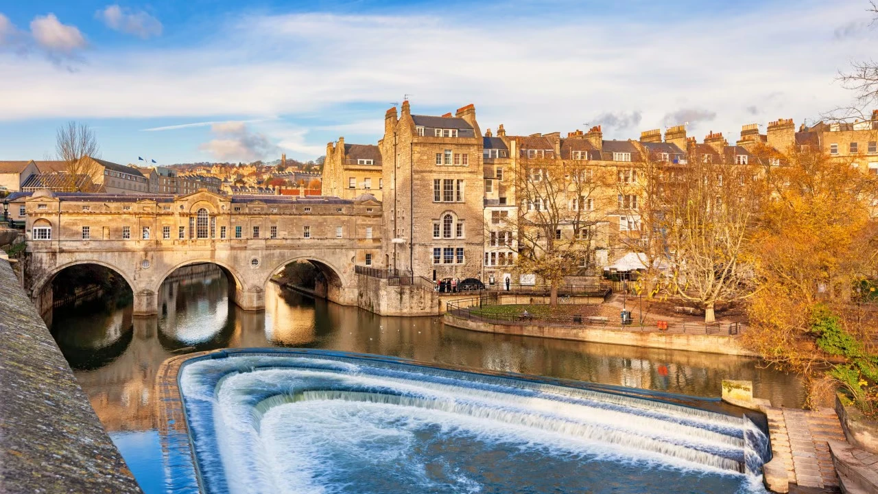
Cold Ashton to Bath (10.2 miles)
This is the final stage of the Cotswold Way, a varied and rewarding walk that gradually transitions from open countryside into the historic city of Bath. The route combines rolling farmland, wooded valleys and sweeping viewpoints before descending towards the Avon Valley. There are several steady climbs along the way, but the gradients are generally manageable. The sense of anticipation builds as Bath comes into view, marking the completion of 102 miles of walking across the Cotswolds.
Previous Section
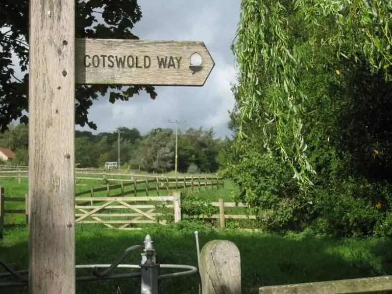
Hawkesbury Upton to Tormarton (7.7 miles)
This is a quieter and more expansive-feeling stretch of the Cotswold Way, crossing open farmland, rolling hills and patches of woodland as the trail gradually approaches the southern end of the Cotswolds. The walking is generally steady rather than steep, with long, gentle undulations replacing the sharper escarpment climbs found further north. With fewer large settlements along the way, this section can feel remote and peaceful.