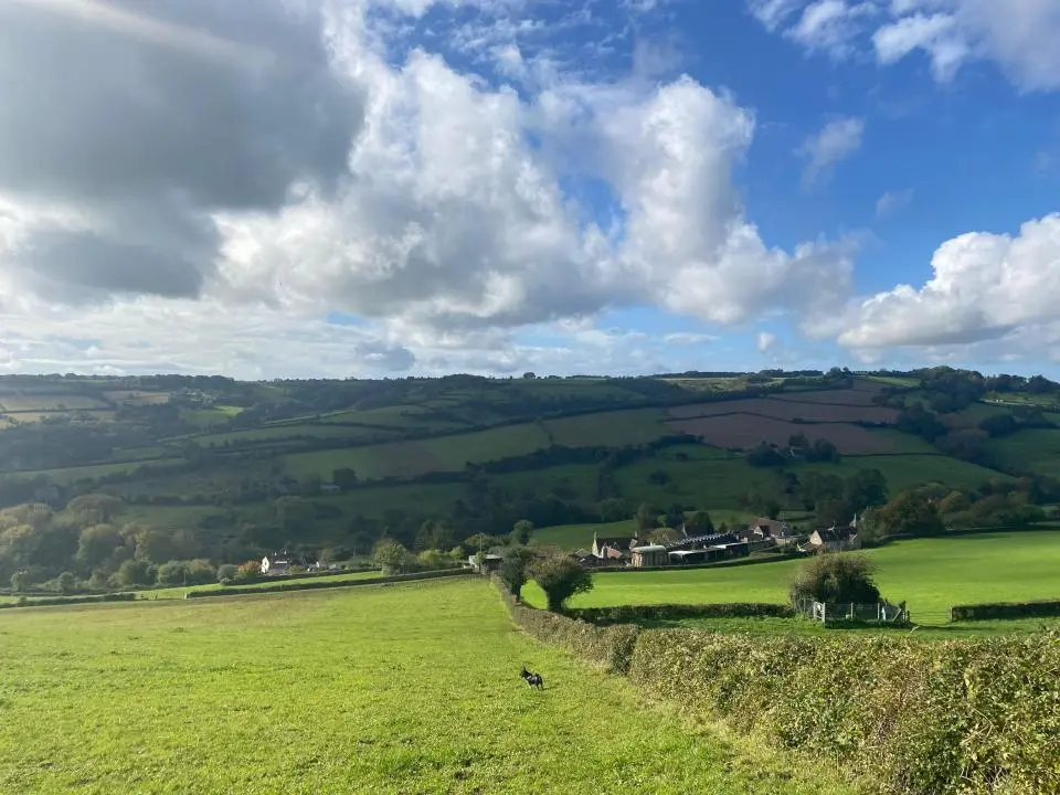
Stretching from Chipping Campden to Bath, the Cotswold Way is a classic long-distance walk through rolling hills, honey-coloured villages and wide open views. Explore the trail section by section using the links below. Each page includes detailed maps, up-to-date weather forecasts and practical guides to help you plan your walk, whether you’re tackling a single day or the whole route.
Route Sections & Distances
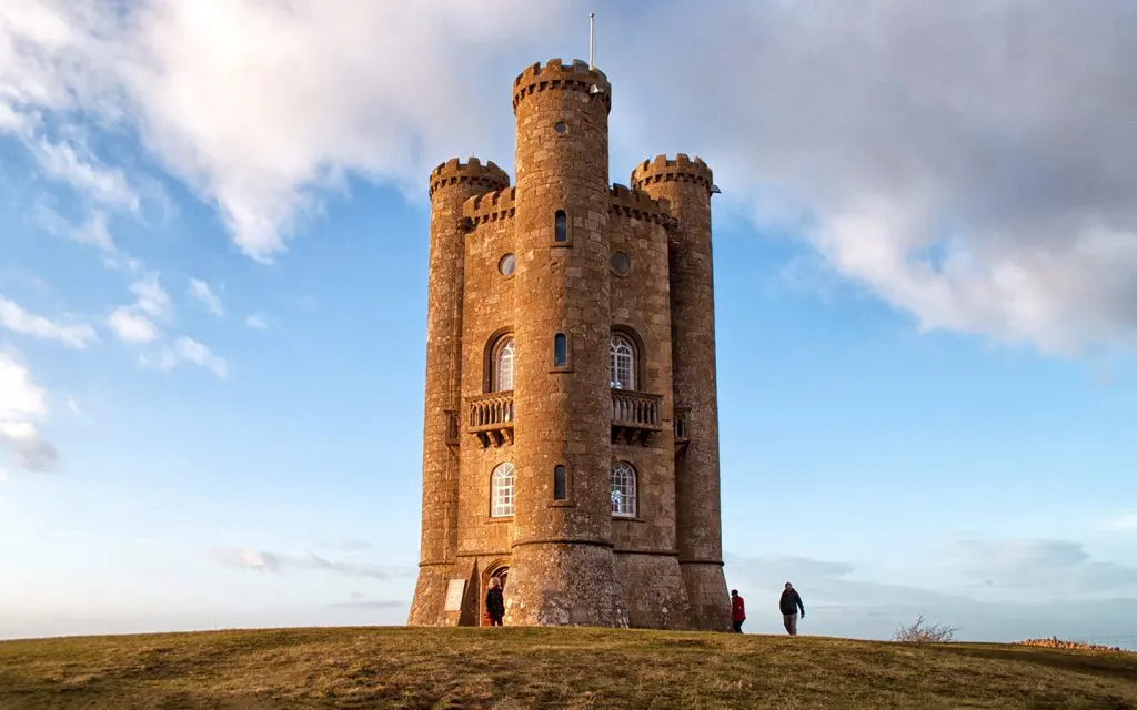
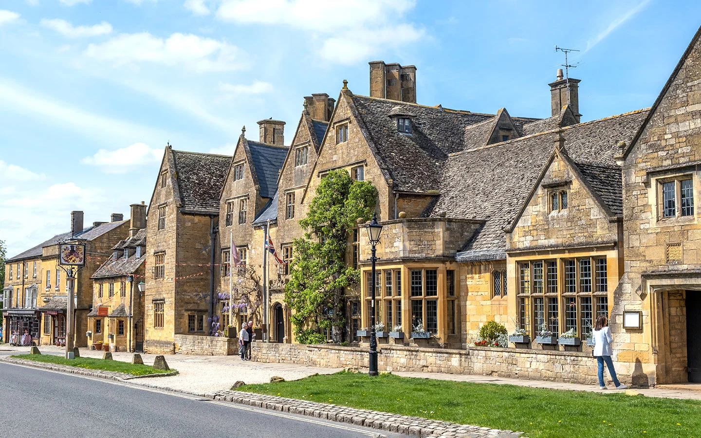
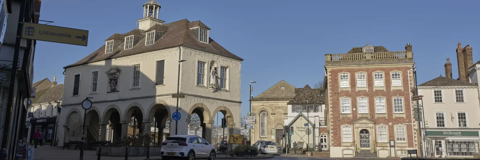
Chipping Campden to Broadway (6 miles)
This opening section of the Cotswold Way sets the tone for the entire trail. Starting in the historic wool town of Chipping Campden, the route quickly climbs onto the northern edge of the Cotswold escarpment, rewarding the effort with sweeping views across the Vale of Evesham and, on clear days, towards the Malvern Hills.
Broadway to Wood Stanway (6.5 miles)
This shorter section continues south along the Cotswold escarpment, offering a rewarding mix of open hilltop walking, quiet woodland paths and sweeping views across the Vale of Evesham. While less demanding than the opening stage from Chipping Campden, there are still steady climbs and descents to contend with.
Wood Stanway to Winchcombe (5.4 miles)
This is a shorter but varied section of the Cotswold Way, descending from the escarpment edge through parkland and open countryside before finishing in the historic town of Winchcombe. While the mileage is modest, there are still a few steady climbs and uneven stretches underfoot.
Winchcombe to Cleeve Hill (5.6 miles)
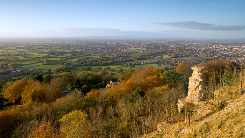
Though relatively short in distance, this is one of the more demanding sections of the Cotswold Way. Leaving Winchcombe, the trail quickly climbs back onto the escarpment before continuing across high, exposed ground to Cleeve Hill — the highest point on the entire trail.

Cleeve Hill to Dowdeswell (5.5 miles)
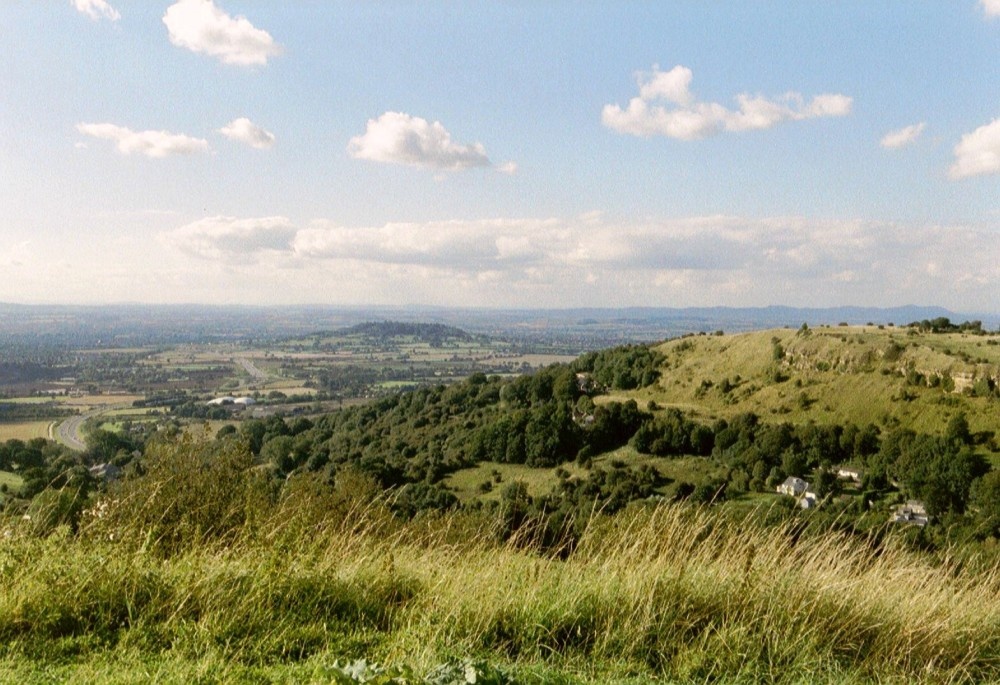
This section continues along the Cotswold escarpment, offering classic ridge walking with wide, open views before gradually descending towards Dowdeswell. While shorter than some earlier stages, it still includes exposed stretches and steady undulations typical of escarpment terrain. You’ll walk above Cheltenham for much of the route, with panoramic views across the Severn Vale, before leaving the higher ground and dropping into quieter countryside.
Dowdeswell to Leckhampton Hill (4.7 miles)
This shorter escarpment section combines woodland paths, steady climbing and expansive viewpoints above Cheltenham. While not especially long, the ascent back onto high ground gives it a moderately challenging feel. You’ll move from the quieter countryside around Dowdeswell through shaded woodland before emerging onto open common land at Leckhampton Hill — one of the most recognisable viewpoints on the Cotswold Way.
Leckhampton Hill to Birdlip (5.6 miles)
This section continues along the dramatic Cotswold escarpment, combining open common land, woodland trails and far-reaching valley views. It’s a classic stretch of Cotswold Way walking — exposed in places, gently undulating, and consistently scenic. Although not especially long, the steady rises and occasional rocky sections underfoot mean it feels like a solid half-day’s walk.
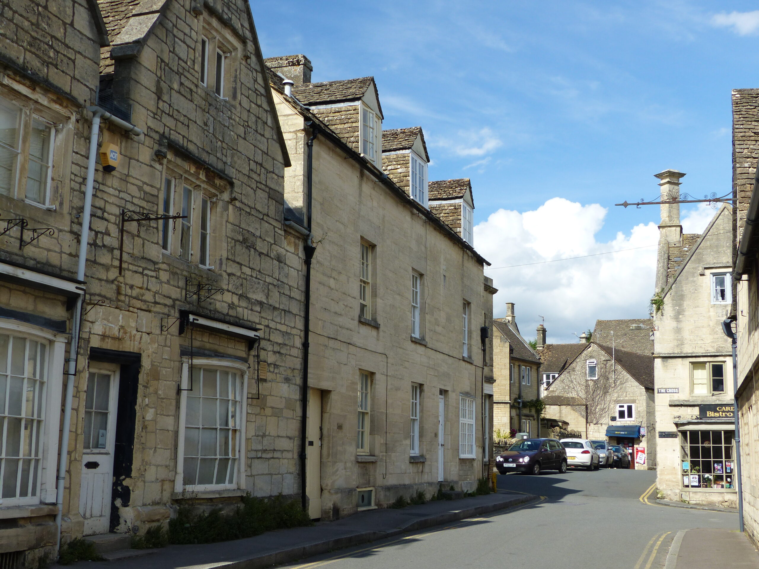
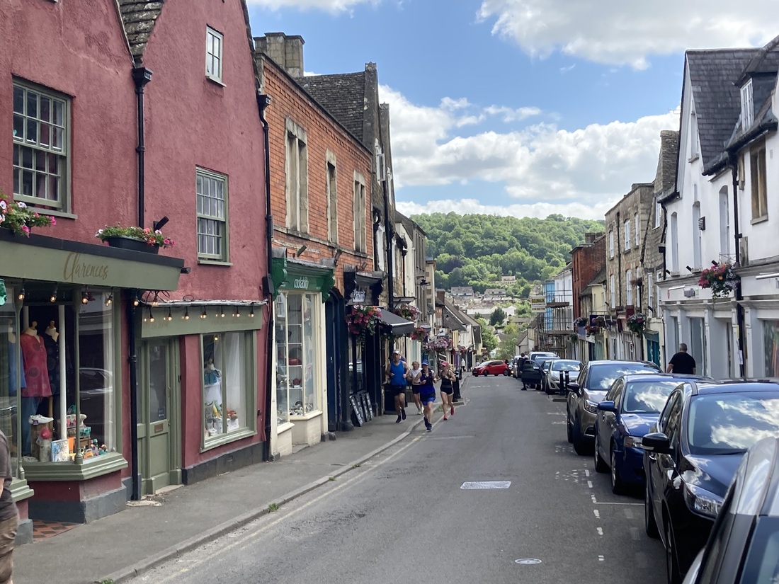
Birdlip to Painswick (8.6 miles)
This is a varied and rewarding stretch of the Cotswold Way, moving away from the busier escarpment viewpoints into quieter woodland, rolling farmland and hidden valleys. While less exposed than earlier ridge sections, there are still steady climbs and descents throughout the day. The approach to Painswick is particularly memorable, with elevated views and a strong sense of arrival as you reach one of the most attractive towns on the entire trail.
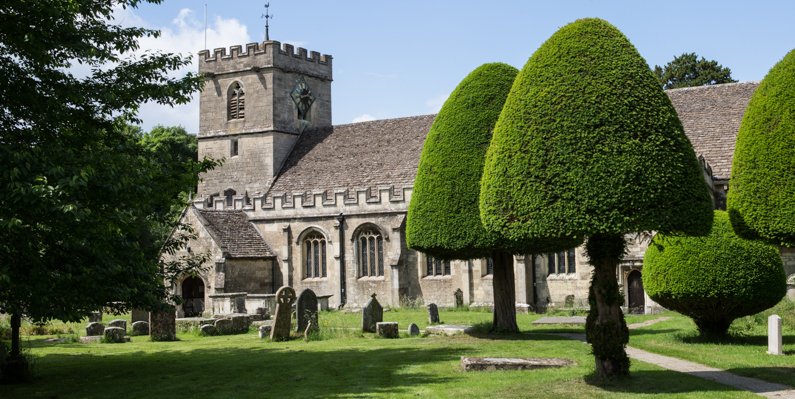
Painswick to King’s Stanley (7.8 miles)
This is a classic Cotswold Way stage — undulating, varied and full of contrast. The route climbs steadily out of Painswick before weaving through woodland, open fields and quiet valleys on its way towards King’s Stanley. While not one of the longest sections, the repeated ascents and descents give it a more demanding feel than the mileage might suggest. Expect a rewarding day of walking with a strong sense of journey as the landscape shifts from hilltop views to sheltered woodland combes.
King’s Stanley to Dursley (7.2 miles)
This is a rewarding escarpment section with one of the finest viewpoints on the central Cotswold Way. The route climbs steadily from King’s Stanley onto high ground before passing the popular viewpoint at Coaley Peak and continuing through woodland and open hillside towards Dursley. Expect steady ascents, exposed stretches and sweeping views west across the Severn Vale. Though not the longest section, the climbing gives it a moderately challenging feel.
Dursley to Wotton-Under-Edge (7.3 miles)
This section delivers a classic mix of open hilltop walking, woodland paths and gentle farmland as the Cotswold Way continues south. After climbing out of Dursley onto Stinchcombe Hill, the route follows the escarpment edge before gradually descending towards Wotton-under-Edge. The gradients are steady rather than severe, making this a manageable but satisfying day’s walk with excellent views and a strong sense of progression along the ridge.
Wotton-Under-Edge to Hawkesbury Upton (7.4 miles)
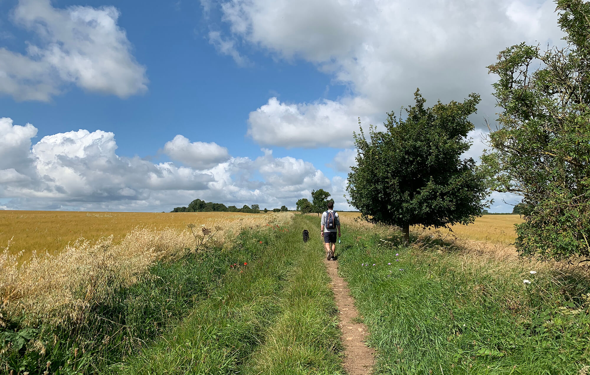
This is a quieter and more rural stretch of the Cotswold Way, moving away from the larger towns and into rolling farmland, ancient woodland and peaceful countryside. The terrain remains gently undulating, with several steady climbs and descents that give the day a satisfying rhythm. While there are fewer dramatic escarpment viewpoints than earlier sections, the walking feels remote and characterful, offering a strong sense of the Cotswolds’ agricultural landscape.
Hawkesbury Upton to Tormarton (7.7 miles)
This is a quieter and more expansive-feeling stretch of the Cotswold Way, crossing open farmland, rolling hills and patches of woodland as the trail gradually approaches the southern end of the Cotswolds. The walking is generally steady rather than steep, with long, gentle undulations replacing the sharper escarpment climbs found further north. With fewer large settlements along the way, this section can feel remote and peaceful.
Tormarton to Cold Ashton (6.6 miles)
This section marks the beginning of the final approach towards Bath, crossing rolling farmland, wooded valleys and quiet countryside. The dramatic escarpment edges of the northern Cotswolds give way here to softer hills and broader views. Although there are still steady climbs and descents, the gradients are generally gentler than earlier stages. The walking feels rural and unhurried, with long stretches across open fields and peaceful lanes.
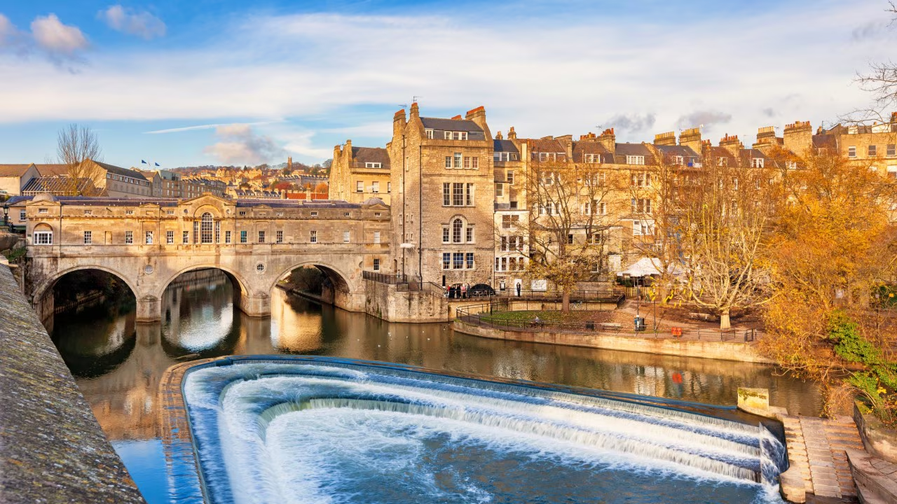
Cold Ashton to Bath (10.2 miles)
This is the final stage of the Cotswold Way — a varied and rewarding walk that gradually transitions from open countryside into the historic city of Bath. The route combines rolling farmland, wooded valleys and sweeping viewpoints before descending towards the Avon Valley. There are several steady climbs along the way, but the gradients are generally manageable. The sense of anticipation builds as Bath comes into view, marking the completion of 102 miles of walking across the Cotswolds.